
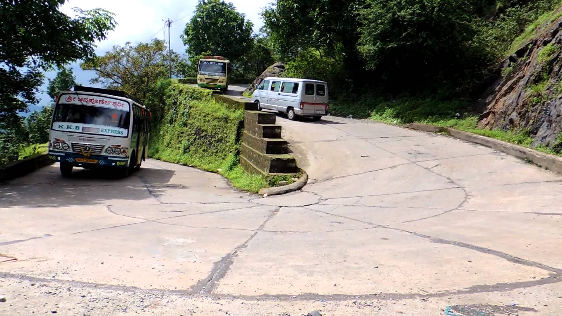
Dangerous Hairpin Bend Road || Agumbe Ghat
Traffic was thrown open on the Agumbe Ghat road connecting Udupi and Shivamogga districts in the evening of December 31. The ghat road was closed on December 1 for repair works.
Actually, the Agumbe Ghat road is now a part of Malpe-Tirthahalli National Highway 169A. But the repair works were taken up under the funds sanctioned earlier to the PWD.
Video – Awesome World
The present work had been done in seven hairpin curves coming under Shivamogga district.
There are an equal number of hairpin curves on this ghat road coming under Udupi district.The vehicle density on this road is estimated at around 8,000 passenger cars units per day.
Agumbe is a high-altitude village in the southwest Indian state of Karnataka. Surrounded by the Western Ghats mountains and lush rainforest, it’s known its many waterfalls, such as Onake Abbi, Bakarna and Jogi Gundi falls. The Sunset View Point overlooks forested valleys. Nearby is Sri Venugopala Krishna Swamy Temple. To the south, tigers, leopards and king cobras live in Someshwara Wildlife Sanctuary.

Agumbe lies in a hilly, wet region of the Western Ghat mountains. This geography contributes to its scenery, and suitability for trekking.In addition, there are a number of waterfalls in the locality.
Agumbe hosts India’s first automatic weather station, founded by Romulus Whitaker b. 1943, New York, NY. Agumbe lies in a rainforest region with a tropical climate, warm and humid. Under the Köppen system of climate classification Agumbe is an ‘Am’ climate, that is, a tropical monsoon climate. A dense silvery fog forms over the Western Ghats contributing to the natural beauty of Agumbe.


